Why DSpace?

DSpace at AcuGIS

It’s been almost four years since AcuGIS began offering GeoServer hosting.

It began as a simple concept; make GeoServer accessible and affordable.

We created our GeoServer hosting service to allow anyone interested in GeoServer to access it without the hassle of configuring a VPS, installing JAVA, Tomcat, etc…. or the expense of having to pay someone to configure a VPS, installing JAVA, Tomcat, etc…

As the service became more popular, we began adding more and more tools to our control panel: extension installers, our shp2pgsql tool, one-click PostGIS and PgRouting installation, etc….

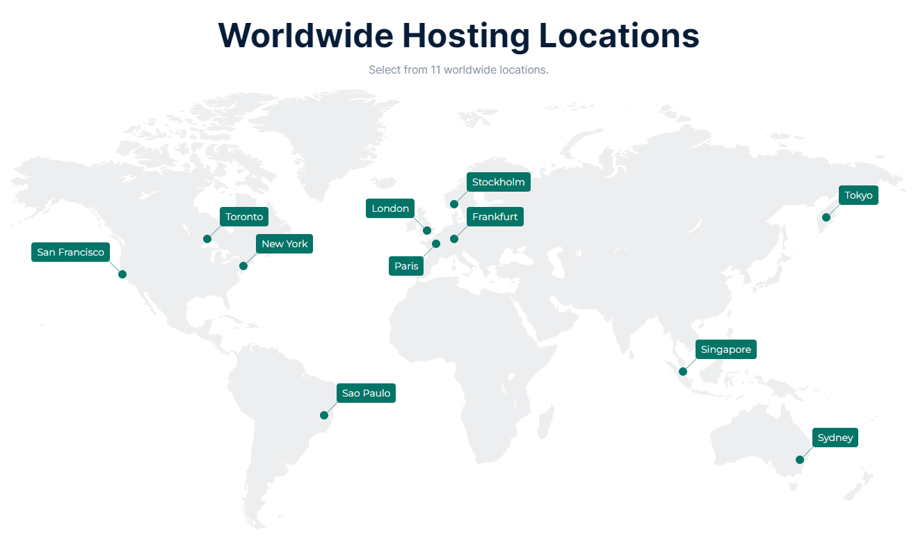
AcuGIS is now privileged to be providing GeoServer hosting to services to individuals, businesses, and organizations in over 40 countries worldwide.

Today, we set our sights on another service that has traditionally been too costly or too complex for many; DSpace.

Our initial DSpace hosting plans are geared towards individuals, departments, and smaller organizations, all of whom can benefit from the great features that DSpace has to offer.

Our DSpace Personal hosting package is available at the introductory price of $25 per month.  While those who enrol at that price will maintain it, the pricing will likely be raised for new customers once we have utilized the initial data centre resources we allotted for this new offering.

DSpace requires a good deal more server resources than GeoServer. It also requires more support resources to configure as it is tailored to the customer’s needs.

However, as with we have done with GeoServer, PostGIS, Neatline, and our other offerings, we will automate and tune our DSpace hosting to allow us to keep the price at a level that is accessible to as many as possible.


AcuGIS.com acquired by MapFig, Inc

AcuGIS.com acquired by MapFig, Inc.

We are pleased to announce that acugis.com has been acquired by MapFig, Inc.

Firstly, we want to assure all clients that all packages and pricing will remain in place.

There will be no changes or alterations to your terms, services, conditions or fees.

The founders of MapFig, Inc are the original team that created AcuGIS in 2011 when it was launched by Enciva, LLC.

The acquisition will bring with it an array of tools and services for AcuGIS clients, as well as early access to new tools and services.

There will also be an increased emphasis on support, guides, articles and tutorials to assist clients in getting the most of their services.

In order to provide proper attention and focus to AcuGIS, MapFig, Inc will be open sourcing a number of it’s products to the GIS community.

Several new services, such as QGIS, DSpace, and VPS/VM services will also become available.

Finally, there will be an increased level of security we began to implement the previous week.

As a global provider, acugis.com will continue to adhere to the US/EU Safe Harbor and all other existing commitments.

MapFig, Ltd (our United Kingdom office), will also participate in and adhere to all existing commitments.

We look forward to providing all AcuGIS clients with the best possible support, tools, and services possible.

Please note that billing statements will appear as MapFig, Inc. If you have an existing subscription under Enciva LLC, you can continue the existing subscription if you wish to.

Please keep an eye on our announcements in the support Portal as well as on Twitter at https://twitter.com/acugis in the coming days for new tools and services!

We look forward to providing you with the best possible hosting experience.

If you have any immediate questions, concerns, or comments, please email us at hello@acugis.com or simply create a support ticket.

Regards,
MapFig, Inc
MapFig, Ltd

PFSense Firewall

All of our OpenGeoSuite hosting packages now included a dedicated PFSense firewall.

The PFSense appliance is dedicated to your OpenGeo instance only.

In combination with IP tables and our external firewalls, you can be assured that your installation is secure.


PostGIS SQL Mapping

PostGIS SQL Maps

We are looking for clients to beta our new PostGIS mapping application.

The application allows you to create Leaflet maps via PostGIS queries.

It also allows you to add multiple layers to maps as well as style layers and markers.

If you are familiar with PostGIS SQL and would like to try the application, please email david@acugis.com

Beta users will be asked to provide feedback and will be provided with the application for continued use.